Projet Littoral Résumé : Liste de mots clés : Projection : EPSG:5490 Emprise : 616406.74011077103205025, 1748935.11033414117991924, 720481.57593367714434862, 1829509.17677768133580685
Voir la carte Description
CARIMAM WP1 Legislation Survey Résumé : Liste de mots clés : Projection : EPSG:4326 Emprise : -113.59135629080606, -8.131224164012636, -29.0940886907739, 50.06514355138242
LifeWeb Résumé : Liste de mots clés : Projection : EPSG:4326 Emprise : -112.62189034551602, -31.29089466568096, 9.092785098232952, 85.97399694464063
SEA TURTLE Legislation Résumé : Liste de mots clés : Projection : EPSG:4326 Emprise : -96.71357127173113, -7.282361416831243, -42.144616118200844, 45.29159967732266
SPAW_AAP Résumé : Liste de mots clés : Projection : EPSG:4326 Emprise : -95.13280486700000438, -2.83658646900000022, -47.90613219200000117, 35.45531029499999676
Protected areas listed under the SPAW Protocol Résumé : Carte interactive des 36 aires protégées identifiées comme "spécialement intéressantes" à... Liste de mots clés : Projection : EPSG:4326 Emprise : -95.36913493515, -1.5262708962293559, -50.83858683884999, 34.089384435229526
SPAW ratification Résumé : Liste de mots clés : Projection : EPSG:4326 Emprise : -85.80333229233518, 0.08918479945215552, -60.009963274271705, 24.939570434059547
Energie Renouvelable Guadeloupe Résumé : Liste de mots clés : Projection : IGNF:RGAF09UTM20 Emprise : 589511.58580000000074506, 1741964.50380000006407499, 751678.25020000000949949, 1843784.66519999993033707
Jaden Gwadloup Résumé : Liste de mots clés : Atlas cartographique des Jardins partagés de la Guadeloupe Projection : EPSG:4326 Emprise : -62.035262270294126, 15.725942857683105, -60.95265062392882, 16.591818641906247
Cartes Stratégiques Bruit Résumé : Liste de mots clés : Projection : EPSG:5490 Emprise : 606094.89736712619196624, 1762204.20937500009313226, 713291.41513287380803376, 1823331.66562499990686774
PPRN Inondation Résumé : Liste de mots clés : Projection : EPSG:5490 Emprise : 616993.7216056663, 1749829.2480267107, 723798.0104393974, 1827157.7365349487
RTC_3D Résumé : Liste de mots clés : Projection : EPSG:5490 Emprise : 514068.7924184741, 1675153.377822268, 826974.4477043445, 1912707.4778216959
Réseaux de Transport Résumé : Liste de mots clés : Projection : EPSG:5490 Emprise : 603634.1197999999858439, 1748964.24959999998100102, 734716.06880000000819564, 1827109.25769999995827675
Zone Menace Grave pour les Vies Humaines Résumé : Liste de mots clés : Projection : EPSG:5490 Emprise : 610599.65249999996740371, 1749267.1507999999448657, 720327.44149999995715916, 1829789.47460000007413328
Echouage des sargasses Résumé : Outil de relevé terrain Création de polygones représentant les sargasses échouées sur le littoral Liste de mots clés : Projection : EPSG:5490 Emprise : 600758.4235429204, 1752981.8335639767, 719823.699454011, 1832358.6841713705
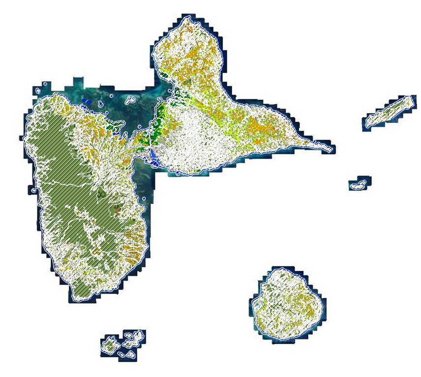
Espaces Naturels Résumé : Liste de mots clés : Projection : EPSG:32620 Emprise : 607954.86399999994318932, 1745691.82180000003427267, 736579.13659999996889383, 1831508.64419999998062849
Manifestations sur le littoral Résumé : Outil cartographique permettant au pétitionnaire d'avoir des éléments de connaissance sur la... Liste de mots clés : Projection : EPSG:5490 Emprise : 598199.20160000002942979, 1737689.15049999998882413, 747364.25780000002123415, 1838476.35060000000521541
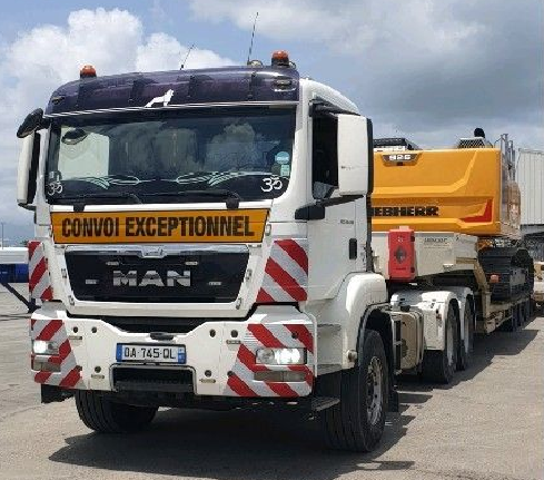
Règlement Transports Exceptionnels Résumé : Liste de mots clés : Projection : EPSG:5490 Emprise : 604832.65828080684877932, 1753707.76621703198179603, 717940.71404594834893942, 1832206.83866139780730009
Projet_PPRN_UT_SBSM Résumé : Liste de mots clés : Projection : EPSG:5490 Emprise : 483312.5935809082, 1984508.2478226672, 503577.7376876666, 2014872.0757819575